Navigáció - szűrő
Betöltés...
Hirdetésfigyelő
Bútor, régiség, ruha, könyv rovaton belül megtalálható apróhirdetések között böngészik.
A rovaton belüli keresési feltételek: Top Line
A keresett kifejezés: Top Line
A rovaton belüli keresési feltételek: Top Line
A keresett kifejezés: Top Line

35 találat - 2. oldal / 3 oldal
3.900 Ft
Nawa Yogini Tantra explores the needs of women in today's society from a yogic perspective.From her esoteric origins as goddess the book traces the unique journey of each woman through life's...
2025.04.01
6.900 Ft
térkép 1 : 1 000 000 Institut Geographique National Szállítási határidő: 2 hét Newly revised in 2008, indexed map of Gabon with an administrative map of the country and a distance table....
2025.03.22
4.490 Ft
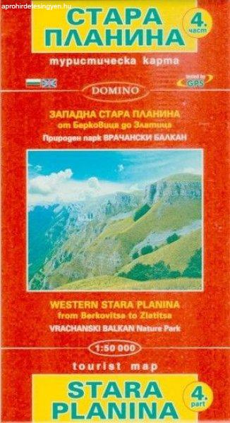
térkép 1:50 000 méret: 100x70 Domino Stara Planina Western: Berkovita to Zlatitsa map at 1:50,000 from Bulgarian publishers Domino, contoured and GPS compatible, with hiking trails,...
2025.03.29
6.900 Ft
térkép 1 : 100 000 87x96cm Institut Geographique National Topographic map of Mauritius at 1:100,000 from the Institut Géographique National, France's national survey organization, with...
2025.03.22
6.900 Ft
térkép 1 : 800 000 120x100cm Szállítási határidő: 2 hét Institut Geographique National The latest edition of this title has now adopted the same cartography as used in the GeoCenter map....
2025.03.22
4.490 Ft
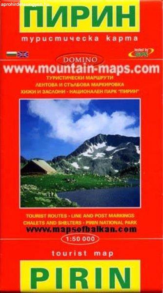
térkép 1:50 000 méret: 100x70 Domino Pirin Mountains at 1:50,000 on a large, double-sided, contoured map with GPS waypoints for shelters and chalets, peaks, etc. and highlighting hiking routes....
2025.03.29
4.490 Ft
térkép Lépték 1:50 000 méret: 100x70 Domino Rila Mountains at 1:50,000 on a large, double-sided, contoured map with GPS waypoints for shelters and chalets, peaks, etc. and highlighting hiking...
2025.03.29
4.490 Ft
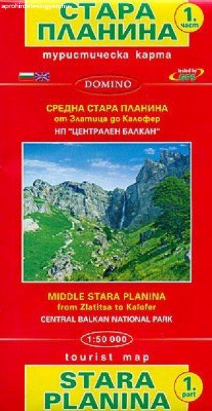
térkép 1:50 000 méret: 100x70 Domino Stara Planina Central: Zlatitsa to Kalofer map at 1:50,000 from Bulgarian publishers Domino, contoured and GPS compatible, with hiking trails, accommodation...
2025.03.29
4.280 Ft
térkép 1 : 1 220 000 100 x 69 cm TTK Rajasthan at 1:1,220,000 in a series of locally produced administrative maps of Indian states from TTK, with a street plan of central Jaipur, a distance...
2025.03.29
4.490 Ft
térkép 1:50 000 méret: 100x70 Domino Stara Planina Western: Belogradchik to Berkovita map at 1:50,000 from Bulgarian publishers Domino, contoured and GPS compatible, with hiking trails,...
2025.03.29
4.490 Ft
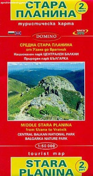
térkép 1:50 000 méret: 100x70 Domino Stara Planina Central: Uzana to Vratnik map at 1:50,000 from Bulgarian publishers Domino, contoured and GPS compatible, with hiking trails, accommodation...
2025.03.29
2.490 Ft
A Practical and Precise Study of Asymmetric Digital Subscriber Lines and Very High Speed Digital Subscriber Lines (Macmillan Technology Series) ADSL/VDSL Principles provides the communications and...
2025.03.30
2.890 Ft
TARTALOM Előszó 11 ELSŐ RÉSZ: ÁLTALÁNOS INFORMATIKA 13 Alapfogalmak 15 Az információ fogalma 15 Adat és információ 17 Az adat 17 Az információ 18 Az információs rendszerek 18 A...
2025.03.30
4.000 Ft
A 33-as ügy Mit tennél, ha a gyermekedet valaki elvinné? Dávid és Vivien ezúttal egy emberrablóval találják szembe magukat. Eredménytelenül keresik a nyomokat, de az elkövető mindig...
2025.03.30
4.420 Ft
Feladatgyűjtemény Szerző: Nágel Árpád Typotex Kiadó, 2019 A feladatgyűjtemény a differenciálegyenletek stabilitáselmélet témaköréhez készült. Az első rész lineáris rendszerekkel...
2025.04.02
