Navigáció - szűrő
Betöltés...
Hirdetésfigyelő
Könyvek rovaton belül megtalálható apróhirdetések között böngészik.
A rovaton belüli keresési feltételek: Top Line
A keresett kifejezés: Top Line
A rovaton belüli keresési feltételek: Top Line
A keresett kifejezés: Top Line

28 találat - 1. oldal / 2 oldal
8.640 Ft
6th Edition Published April 2018 416 pages, 96 pp colour, 61 maps Next edition due: March 2023 OLVASS BELE Snow-dusted or sun-kissed steppe and taiga, the Gobi Desert and the Great Wall – the...
2025.04.10
10.200 Ft
7th edition Published: 14th Aug 17 Size: 135 x 216mm 392 pages / 16 colour photos / 55 maps This new seventh edition of Bradt's Mozambique remains the most established and only standalone guide to...
2025.04.10
3.600 Ft
Mengyán András In the autumn of 1984, on the darkened top floor of the Csók István Gallery In Székesfehérvár, there were tall, slim pyramids reaching up high, their edges running to meet In...
2025.04.02
8.100 Ft
14th Edition / July 2020 288 pp fullcolour / 36 maps Next scheduled release date: March 2023 OLVASS BELE The familiar and the exotic constantly collide in Bangkok: megamalls sit side-by-side...
2025.04.10
3.600 Ft
Mengyán András In the autumn of 1984, on the darkened top floor of the Csók István Gallery In Székesfehérvár, there were tall, slim pyramids reaching up high, their edges running to meet In...
2025.03.30
3.790 Ft
136 pages size: 108 x 191 szállítási határidő: 3 hét Publication date: March 2019 Explore Menorca with this handy, pocket-sized, authoritative guide, packed with Insider Tips. Discover...
2025.04.01
980 Ft
2012. április 15. a Titanic szomorú tragédiájának 100. évfordulója.# Jó néhány év eltelt tehát a jéghegy és az úszó csoda végzetes találkozása óta, de mit sem csökkent az...
2025.04.03
4.490 Ft
térkép 1: 100 000 méret: 100x70 Domino Western Rhodope Mountains at 1:100,000 on a contoured GPS compatible map from Domino extending from just west of the Pirin National Park to Asenovgrad in...
2025.03.29
3.900 Ft
Nawa Yogini Tantra explores the needs of women in today's society from a yogic perspective.From her esoteric origins as goddess the book traces the unique journey of each woman through life's...
2025.04.01
6.900 Ft
térkép 1 : 1 000 000 Institut Geographique National Szállítási határidő: 2 hét Newly revised in 2008, indexed map of Gabon with an administrative map of the country and a distance table....
2025.03.22
4.490 Ft
térkép 1:50 000 méret: 100x70 Domino Stara Planina Western: Berkovita to Zlatitsa map at 1:50,000 from Bulgarian publishers Domino, contoured and GPS compatible, with hiking trails,...
2025.03.29
6.900 Ft
térkép 1 : 100 000 87x96cm Institut Geographique National Topographic map of Mauritius at 1:100,000 from the Institut Géographique National, France's national survey organization, with...
2025.03.22
6.900 Ft
térkép 1 : 800 000 120x100cm Szállítási határidő: 2 hét Institut Geographique National The latest edition of this title has now adopted the same cartography as used in the GeoCenter map....
2025.03.22
4.490 Ft
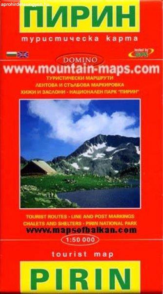
térkép 1:50 000 méret: 100x70 Domino Pirin Mountains at 1:50,000 on a large, double-sided, contoured map with GPS waypoints for shelters and chalets, peaks, etc. and highlighting hiking routes....
2025.03.29
4.490 Ft
térkép Lépték 1:50 000 méret: 100x70 Domino Rila Mountains at 1:50,000 on a large, double-sided, contoured map with GPS waypoints for shelters and chalets, peaks, etc. and highlighting hiking...
2025.03.29


