Navigáció - szűrő
Betöltés...
Hirdetésfigyelő
Könyvek rovaton belül megtalálható apróhirdetések között böngészik.
A rovaton belüli keresési feltételek: X Type
A keresett kifejezés: X Type
A rovaton belüli keresési feltételek: X Type
A keresett kifejezés: X Type

22 találat - 1. oldal / 2 oldal
5.690 Ft
100 x 191mm 128 pages Published: 26 May 2022 Dorling Kindersley From the serene beauty of the Dalmatian Coast to the old world charm of Dubrovnik - the Top 10 best of everything in Dubrovnik and...
2025.04.10
7.020 Ft
Cover Paperback - PVC Edition First Published 14 Aug 2009 Availability Reprinted Pages 176 Dimensions 17.2 x 11.6 x 1.5cm Weight 240g Originally Published 1 Apr 2006 The classic peak of the...
2025.04.10
19.999 Ft
Szerző:Ron Kimball · Matt DeLorenzo Kiadó:Geopen Nyelv: magyar Kiadás éve: 2008 ISBN:9789639765436 Kötésmód: KEMÉNYTÁBLÁS, KÖTÖTT Oldalszám: 208 oldal Méret [mm]: 340 x 420 x 21...
2025.04.11
6.930 Ft
Auflage:7., aktualisierte und erweiterte Auflage 2022 Seiten:288 Ausstattung:91 height profiles, 85 maps in 1:50,000 / 1:75,000, 4 overview maps in 1:400,000, Format 11.5 x 16.5 cm, paperback with...
2025.04.10
6.900 Ft
térkép 1 : 1 000 000 88x65cm Institut Geographique National szállítási határidő: 2 hét General road map with plans of Dakar and Saint-Loius, and an enlargement for the Cap Vert peninsula....
2025.04.21
11.400 Ft
6th Edition Published: 01 Jul 2022 Size: 135 x 216mm 408 PAGES • 16 PAGES OF COLOUR PHOTOS • 28 MAPS This new, thoroughly updated fifth edition of Bradt's Serbia remains the most acclaimed...
2025.04.10
9.180 Ft
Published 4 Feb 2016 Edition First Pages 288 Size 17.2 x 11.6 x 1.6cm Cycling guidebook to the Danube Cycleway exploring the route from Budapest to the Black Sea, the more adventurous second part...
2025.04.12
14.900 Ft
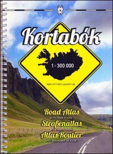
spirál atlasz 1 : 300 000 méret: 18 x 25 cm Mal og menning szállítási határidő: 2 hét Road Atlas of Iceland at 1:300,000 from Mál og menning in a spiral-bound glovebox format, with 35...
2025.04.10
6.900 Ft
térkép 1 : 250 000 87x98cm Szállítási határidő: 2 hét Institut Geographique National Detailed map of Burundi with small villages and settlements, and a street plan of Bujumbura. Contours at...
2025.04.21
6.900 Ft
térkép 1 : 50 000 88x132cm Szállítási határidő: 2 hét Institut Geographique National Brightly coloured, detailed topographic map with contours at 20m intervals and relief showing the...
2025.04.21
6.900 Ft
térkép 1 : 500 000 89x120cm Institut Geographique National Clear, general map of the country with plans of Lomé and Kara. Contours at 80m intervals and relief shading indicate the country'...
2025.04.21
6.900 Ft
térkép 1 : 1 000 000 88x65cm Szállítási határidő: 2 hét Institut Geographique National General road map of the country with topography indicated by contours at 100m intervals and relief...
2025.04.21
6.900 Ft
térkép 1 : 2 500 000 55x63cm Szállítási határidő: 2 hét Institut Geographique National Road map with bold relief shading and spot heights, indicating different types of terrain and...
2025.04.21
6.900 Ft
térkép 1 : 600 000 89x120cm Institut Geographique National Road map of the country with insets showing street plans of Cotonou and Porto-Novo. Relief shading and 80m contour intervals provide...
2025.04.21
6.900 Ft
térkép 1 : 1 500 000 88x132cm Institut Geographique National Brightly coloured map indicating different types of terrain and vegetation. Road network differentiates between permanent and seasonal...
2025.04.21


