Navigáció - szűrő
Betöltés...
Hirdetésfigyelő
Bútor, régiség, ruha, könyv rovaton belül megtalálható apróhirdetések között böngészik.
A rovaton belüli keresési feltételek: The Grid
A keresett kifejezés: The Grid
A rovaton belüli keresési feltételek: The Grid
A keresett kifejezés: The Grid

18 találat - 1. oldal / 2 oldal
99.990 Ft
Columbia egyenes fazonú technikai kabát fekete színben Nagyon magas technikai felszereltséggel bíró kabát, amit remekül használhat sieléskor, túrázáskor, ugyanakkor a mindennapokban...
2025.05.30
6.900 Ft
térkép 1 : 50 000 88x132cm Szállítási határidő: 2 hét Institut Geographique National Brightly coloured, detailed topographic map with contours at 20m intervals and relief showing the...
2025.05.21
5.900 Ft
térkép 1: 25 000 90 x 70 cm Astroida Paklenica National Park on the Croatian coast near Zadar on a detailed, contoured and GPS compatible map at 1:25,000 from Astroida, highlighting waymarked...
2025.05.10
5.690 Ft
100 x 191mm 192 pages Published: 20 Jan 2022 Dorling Kindersley New York's grid-like streets are laid out for you neighbourhood by neighbourhood with user-friendly maps, and stunning photography...
2025.05.10
6.000 Ft
Adrian Phillips & Jo Scotchmer MARCH 2012 3rd Edition 336 pages / 16 colour photos / 13 maps Phillips and Scotchmer are winners of the coveted Guidebook of the Year award. Comprehensively updated -...
2025.05.10
6.900 Ft
térkép 1 : 2 000 000 55x88cm Institut Geographique National Road map with bold relief shading and spot heights. Seasonal roads are annotated to show when they are usually passable. Other...
2025.05.21
3.490 Ft
It's 1996, and Reacher is still in the army. In the morning they give him a medal, and in the afternoon they send him back to school. That night he's off the grid. Out of sight, out of mind. Two...
2025.05.16
7.500 Ft
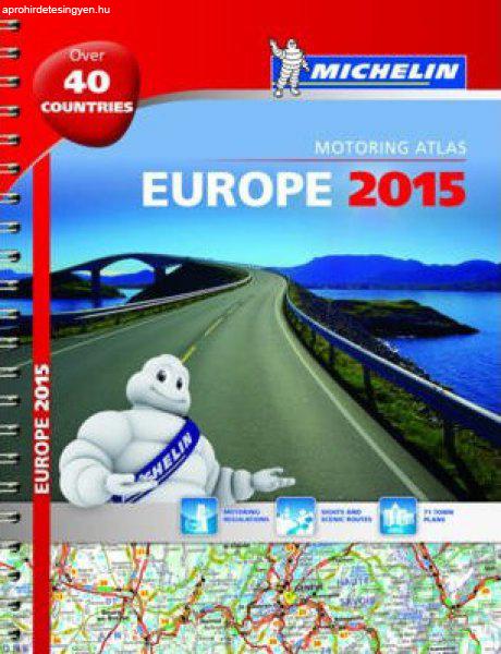
spirál atlasz méret: A4 1: 1 000 000 Publication date 08 Jan 2018 336 oldal This A4 spiralbound Michelin Road Atlas to Europe incorporates easy-to-read mapping with several different maps of...
2025.05.10
6.900 Ft
térkép 1 : 1 000 000 87x96cm Institut Geographique National Basic physical map with bold elevation colouring. National parks are marked and some tourist information is given, mainly for the...
2025.05.21
6.900 Ft
térkép 1 : 500 000 89x120cm Institut Geographique National Clear, general map of the country with plans of Lomé and Kara. Contours at 80m intervals and relief shading indicate the country'...
2025.05.21
6.900 Ft
térkép 1 : 2 000 000 92x109cm Szállítási határidő: 2 hét Institut Geographique National General map of the country with a street plan of Bamako. Dark colouring with faint relief shading...
2025.05.21
6.900 Ft
térkép 1 : 1 000 000 Institut Geographique National Szállítási határidő: 2 hét Newly revised in 2008, indexed map of Gabon with an administrative map of the country and a distance table....
2025.05.21
6.900 Ft
térkép 1 : 2 000 000 99x88cm Szállítási határidő: 2 hét Institut Geographique National General map with bold relief shading and bright colours indicating various types of terrain and...
2025.05.21
4.490 Ft
térkép 1:50 000 méret: 100x70 Domino Stara Planina Western: Berkovita to Zlatitsa map at 1:50,000 from Bulgarian publishers Domino, contoured and GPS compatible, with hiking trails,...
2025.05.28
4.490 Ft
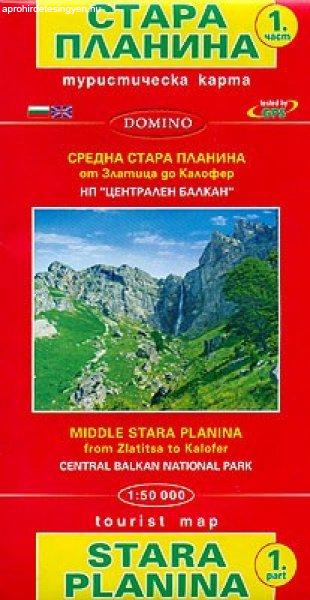
térkép 1:50 000 méret: 100x70 Domino Stara Planina Central: Zlatitsa to Kalofer map at 1:50,000 from Bulgarian publishers Domino, contoured and GPS compatible, with hiking trails, accommodation...
2025.05.28
