Navigáció - szűrő
Betöltés...
Hirdetésfigyelő
Bútor, régiség, ruha, könyv rovaton belül megtalálható apróhirdetések között böngészik.
A rovaton belüli keresési feltételek: Latitude
A keresett kifejezés: Latitude
A rovaton belüli keresési feltételek: Latitude
A keresett kifejezés: Latitude

30 találat - 1. oldal / 2 oldal
6.900 Ft
térkép 1 : 50 000 88x132cm Szállítási határidő: 2 hét Institut Geographique National Brightly coloured, detailed topographic map with contours at 20m intervals and relief showing the...
2025.07.20
5.900 Ft
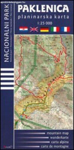
térkép 1: 25 000 90 x 70 cm Astroida Paklenica National Park on the Croatian coast near Zadar on a detailed, contoured and GPS compatible map at 1:25,000 from Astroida, highlighting waymarked...
2025.07.09
6.900 Ft
térkép 1 : 100 000 87x96cm Institut Geographique National Topographic map of Mauritius at 1:100,000 from the Institut Géographique National, France's national survey organization, with...
2025.07.20
6.900 Ft
térkép 1 : 2 000 000 55x88cm Institut Geographique National Road map with bold relief shading and spot heights. Seasonal roads are annotated to show when they are usually passable. Other...
2025.07.20
7.900 Ft
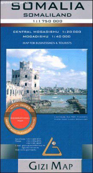
térkép 1 : 1 750 000 méret: 86x94cm Gizimap omalia at 1:1,750,000 from Gizi Map covering the whole territory within the internationally recognized borders of the country and showing its current...
2025.07.09
6.900 Ft
térkép 1 : 1 000 000 88x65cm Institut Geographique National szállítási határidő: 2 hét General road map with plans of Dakar and Saint-Loius, and an enlargement for the Cap Vert peninsula....
2025.07.20
6.900 Ft
térkép 1 : 1 000 000 87x96cm Institut Geographique National Basic physical map with bold elevation colouring. National parks are marked and some tourist information is given, mainly for the...
2025.07.20
14.900 Ft
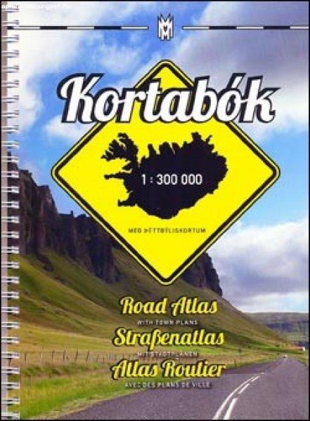
spirál atlasz 1 : 300 000 méret: 18 x 25 cm Mal og menning szállítási határidő: 2 hét Road Atlas of Iceland at 1:300,000 from Mál og menning in a spiral-bound glovebox format, with 35...
2025.07.09
6.900 Ft
térkép 1 : 250 000 87x98cm Szállítási határidő: 2 hét Institut Geographique National Detailed map of Burundi with small villages and settlements, and a street plan of Bujumbura. Contours at...
2025.07.20
7.900 Ft
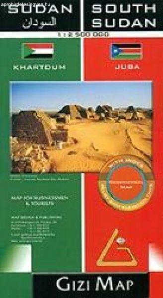
térkép 1 : 2 500 000 méret 870x940 Gizimap Sudan and South Sudan as separate countries on an excellent indexed map at 1:2,500,000 from Gizi Maps with detailed presentation of the topography,...
2025.07.09
6.900 Ft
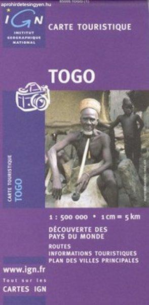
térkép 1 : 500 000 89x120cm Institut Geographique National Clear, general map of the country with plans of Lomé and Kara. Contours at 80m intervals and relief shading indicate the country'...
2025.07.20
6.900 Ft
térkép 1 : 2 000 000 92x109cm Szállítási határidő: 2 hét Institut Geographique National General map of the country with a street plan of Bamako. Dark colouring with faint relief shading...
2025.07.20
6.900 Ft
térkép 1 : 1 000 000 88x65cm Szállítási határidő: 2 hét Institut Geographique National General road map of the country with topography indicated by contours at 100m intervals and relief...
2025.07.20
6.900 Ft
térkép 1 : 2 500 000 55x63cm Szállítási határidő: 2 hét Institut Geographique National Road map with bold relief shading and spot heights, indicating different types of terrain and...
2025.07.20
6.900 Ft
térkép 1 : 1 000 000 86x63cm Institut Geographique National General map of the country with relief shading, showing a large number of small villages and settlements. Roads are classified...
2025.07.20
