Navigáció - szűrő
Betöltés...
Hirdetésfigyelő
Bútor, régiség, ruha, könyv rovaton belül megtalálható apróhirdetések között böngészik.
A rovaton belüli keresési feltételek: Gps Map
A keresett kifejezés: Gps Map
A rovaton belüli keresési feltételek: Gps Map
A keresett kifejezés: Gps Map

32 találat - 2. oldal / 3 oldal
4.490 Ft
térkép 1: 100 000 méret: 100x70 Domino Western Rhodope Mountains at 1:100,000 on a contoured GPS compatible map from Domino extending from just west of the Pirin National Park to Asenovgrad in...
2025.06.27
4.990 Ft
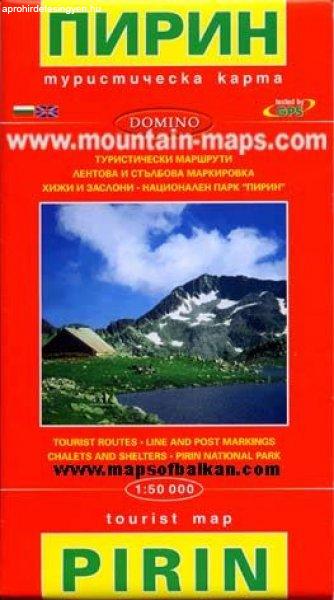
térkép 1:50 000 méret: 100x70 Domino Pirin Mountains at 1:50,000 on a large, double-sided, contoured map with GPS waypoints for shelters and chalets, peaks, etc. and highlighting hiking routes....
2025.06.27
4.490 Ft
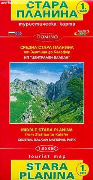
térkép 1:50 000 méret: 100x70 Domino Stara Planina Central: Zlatitsa to Kalofer map at 1:50,000 from Bulgarian publishers Domino, contoured and GPS compatible, with hiking trails, accommodation...
2025.06.27
7.830 Ft
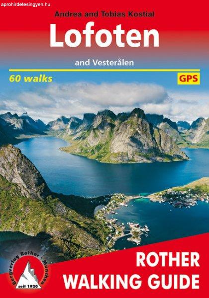
Auflage:2., aktualisierte Auflage 2022 Seiten:232 Anzahl der Bilder:100 Ausstattung:1st edition 2019, 232 pages with 179 colour photos, 74 height profiles, 60 maps in 1:25,000,1:50,000, 1:75,000...
2025.07.10
4.490 Ft
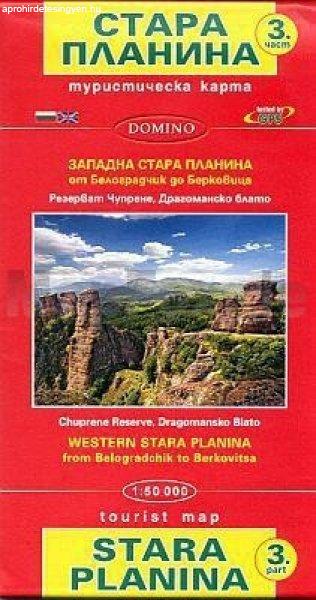
térkép 1:50 000 méret: 100x70 Domino Stara Planina Western: Belogradchik to Berkovita map at 1:50,000 from Bulgarian publishers Domino, contoured and GPS compatible, with hiking trails,...
2025.06.27
8.460 Ft
264 pages Published: 15 Jul 2021 Size: 220 x 150 mm Dorling Kindersley Take your time with Road Trips France our redesigned and newly updated guide containing 24 leisurely drives through the...
2025.07.02
4.490 Ft
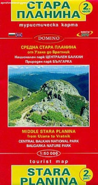
térkép 1:50 000 méret: 100x70 Domino Stara Planina Central: Uzana to Vratnik map at 1:50,000 from Bulgarian publishers Domino, contoured and GPS compatible, with hiking trails, accommodation...
2025.06.27
6.930 Ft
Ausstattung:3nd edition 2022, 288 pages with 231 colour photos, 70 height profiles, 71 maps in 1:50,000, 1:75,000 and two overview maps with a scale of 1:700,000 and one with 1:2,000,000, Format...
2025.07.09
6.930 Ft
6th Edition 2020 248 pages, 266 photos, 72 height profiles, 70 maps in 1:50,000, 1 overview map in 1:150,000, GPS routes Format 11.5 x 16.5 cm, paperback with a polytex-laminated cover...
2025.07.09
6.930 Ft
5th Edition 2019 176 pages, 87 photos, 63 height profiles, 63 maps to a scale of 1:50,000 / 1:75,000 / 1:100,000, 2 overview maps to a scale of 1:3,000,000 and 1:5,000,000 Format 11.5 x 16.5 cm,...
2025.07.09
9.900 Ft
spirál atlasz méret: A4 1: 590 000 - 8 500 000 Pub Date: 07 Jul 2022 304 oldal The atlas's big picture and road details help you on your journey, for advance planning and consulting en route,...
2025.07.09
3.500 Ft
térkép 1: 30 000 méret: 130 x 235 Kiadva: 2017 A sík terület és a jól lipített bicikliutak hálózata miattt a terület különsen az idősebbeknek és a kisgyerekseknek ajánlható. A...
2025.06.26
6.930 Ft
2nd Edition 2018 208 pages, 142 photos, 53 maps in 1:25,000, 1:50,000 and 1:100,000, 2 overview maps in 1:700,000 and 1:1,000,000 Format 11.5 x 16.5 cm, paperback with a polytex-laminated cover...
2025.07.10
2.699 Ft
Szerző:Hajni István · Kolozsvári Ildikó Kiadó:CasteloArt Nyelv: magyar, angoj, német, francia Kiadás éve: 2008 ISBN:9789638793447 Kötésmód: KEMÉNYTÁBLÁS, KÖTÖTT Oldalszám: oldal...
2025.06.25
8.775 Ft
Auflage:1. Auflage 2013 Ausstattung:256 pages with 147 colour photos, 78 height profiles, 78 walking maps to a scale of 1:50,000, 1:75,000 and 1:100,000 and 2 overview maps to a scale of...
2025.07.09
