Navigáció - szűrő
Betöltés...
Hirdetésfigyelő
Könyvek rovaton belül megtalálható apróhirdetések között böngészik.
A rovaton belüli keresési feltételek: Grid 2
A keresett kifejezés: Grid 2
A rovaton belüli keresési feltételek: Grid 2
A keresett kifejezés: Grid 2

8 találat - 1. oldal / 1 oldal
6.900 Ft
térkép 1 : 50 000 88x132cm Szállítási határidő: 2 hét Institut Geographique National Brightly coloured, detailed topographic map with contours at 20m intervals and relief showing the...
2025.03.22
4.490 Ft
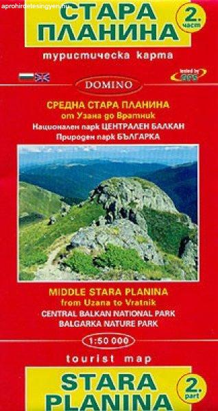
térkép 1:50 000 méret: 100x70 Domino Stara Planina Central: Uzana to Vratnik map at 1:50,000 from Bulgarian publishers Domino, contoured and GPS compatible, with hiking trails, accommodation...
2025.03.29
6.900 Ft
térkép 1 : 2 000 000 55x88cm Institut Geographique National Road map with bold relief shading and spot heights. Seasonal roads are annotated to show when they are usually passable. Other...
2025.03.22
6.900 Ft
térkép 1 : 1 000 000 87x96cm Institut Geographique National Basic physical map with bold elevation colouring. National parks are marked and some tourist information is given, mainly for the...
2025.03.22
6.900 Ft
térkép 1 : 2 000 000 92x109cm Szállítási határidő: 2 hét Institut Geographique National General map of the country with a street plan of Bamako. Dark colouring with faint relief shading...
2025.03.22
6.900 Ft
térkép 1 : 1 000 000 Institut Geographique National Szállítási határidő: 2 hét Newly revised in 2008, indexed map of Gabon with an administrative map of the country and a distance table....
2025.03.22
6.900 Ft
térkép 1 : 2 000 000 99x88cm Szállítási határidő: 2 hét Institut Geographique National General map with bold relief shading and bright colours indicating various types of terrain and...
2025.03.22
7.500 Ft
spirál atlasz méret: A4 1: 1 000 000 Publication date 08 Jan 2018 336 oldal This A4 spiralbound Michelin Road Atlas to Europe incorporates easy-to-read mapping with several different maps of...
2025.04.10
